

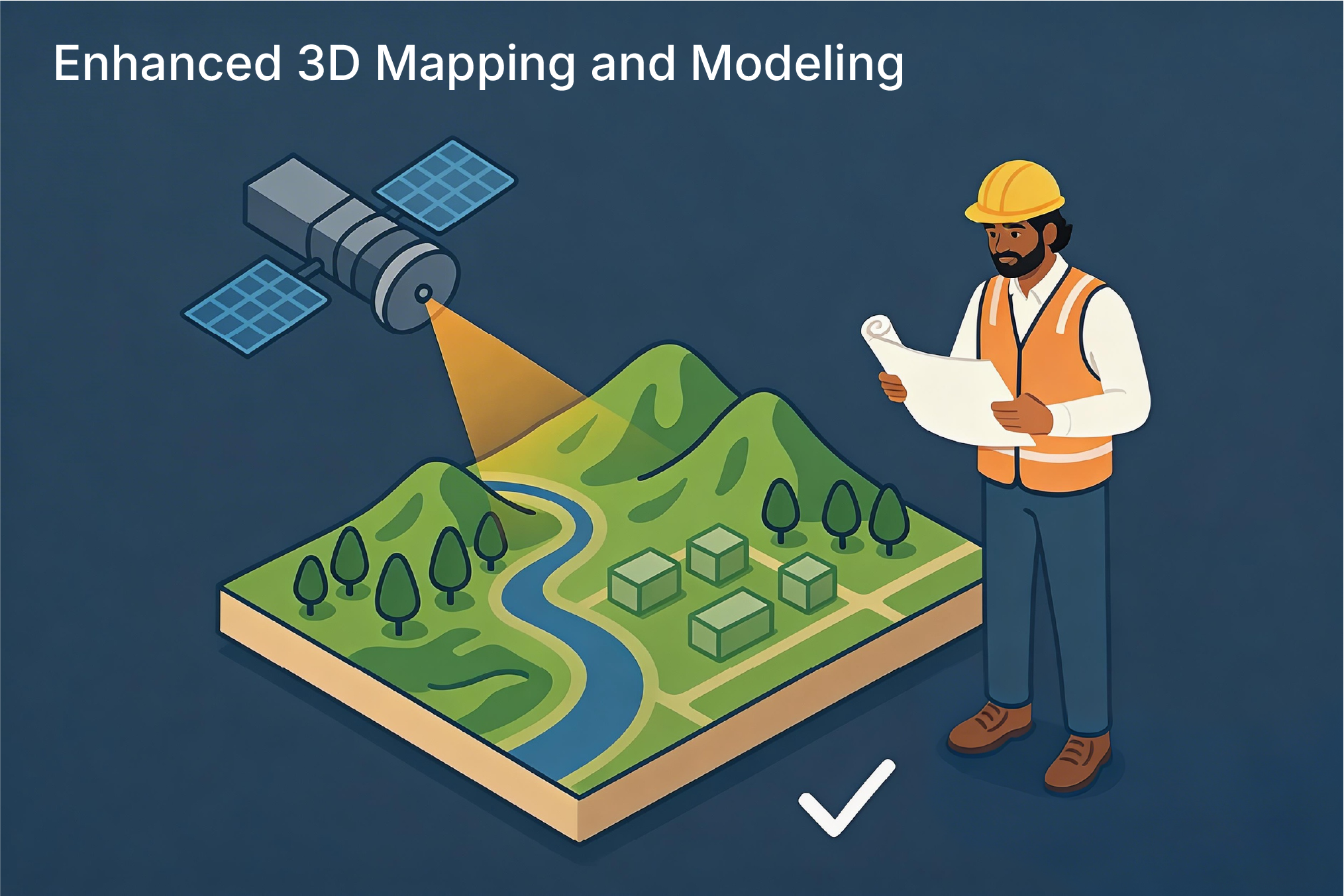
How Remote Sensing is Changing Surveying and Mapping

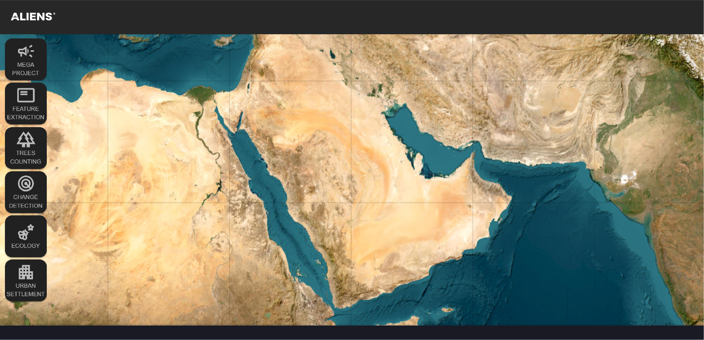
Applications
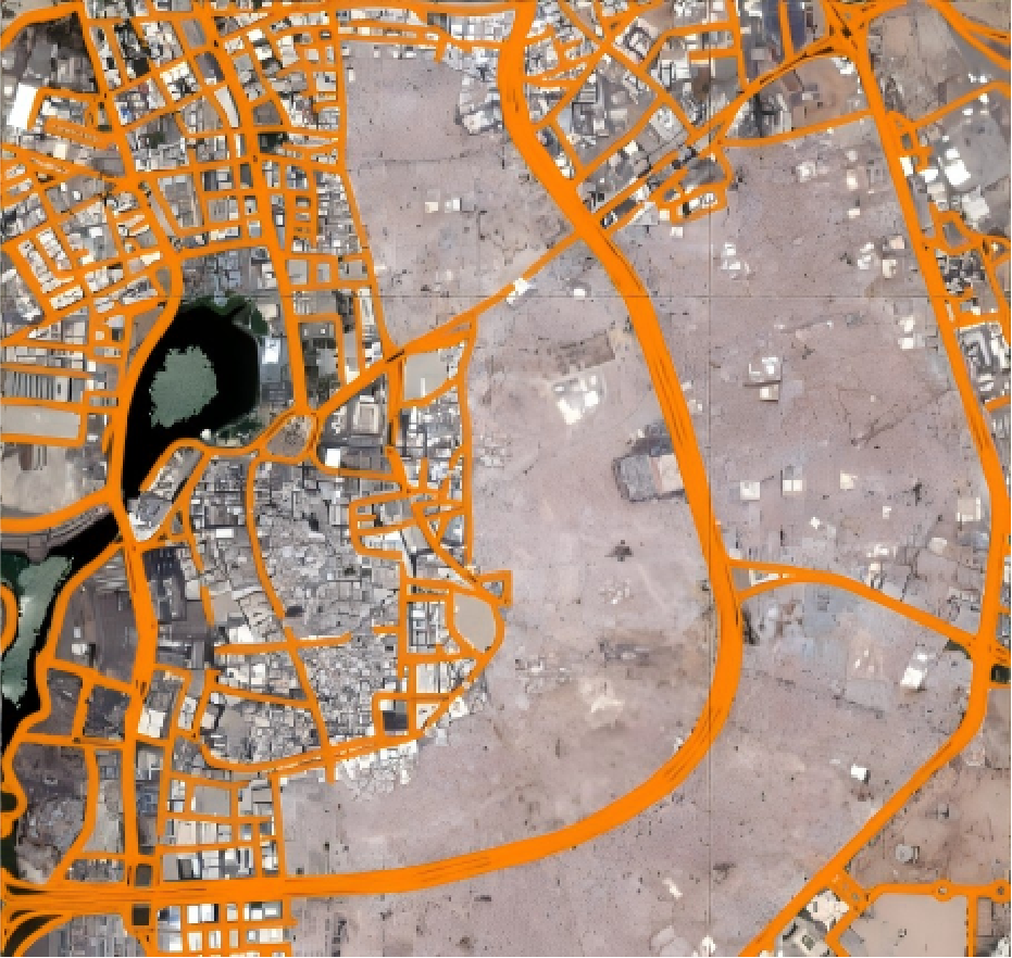
Mosaic Satellite Image Library
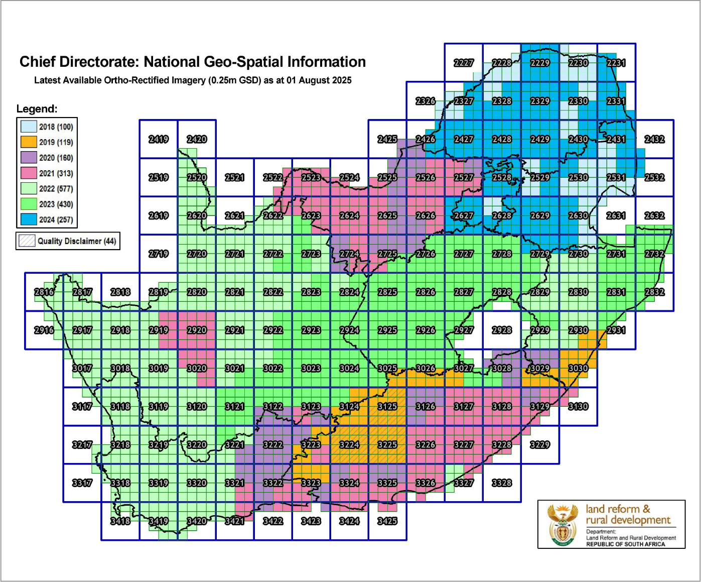
Current Orthorectification Schematic of South Africa
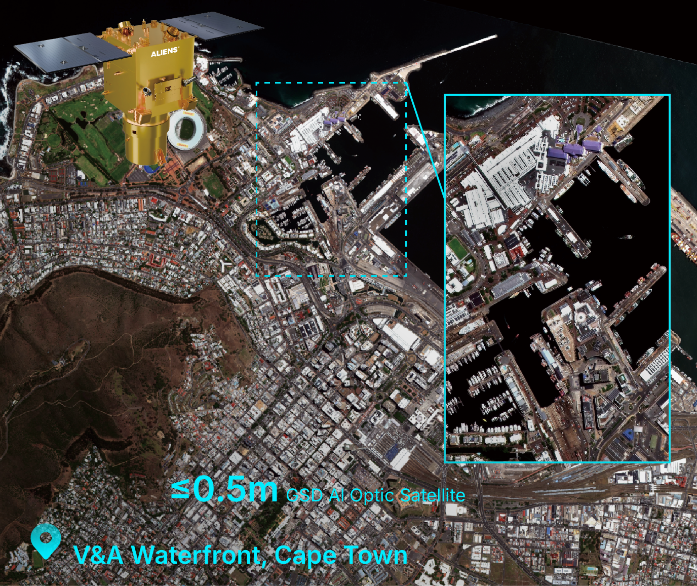
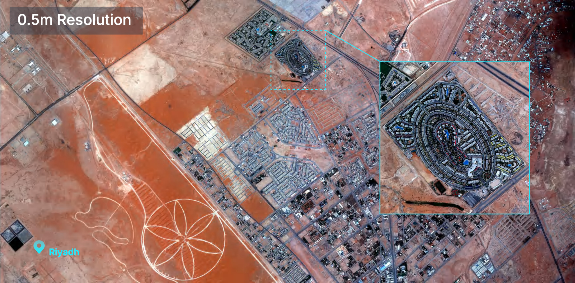
Sample 0.5m Resolution Satellite Imagery
Sample Imagery
Imagery Product
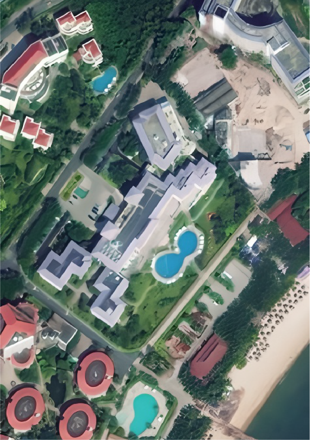
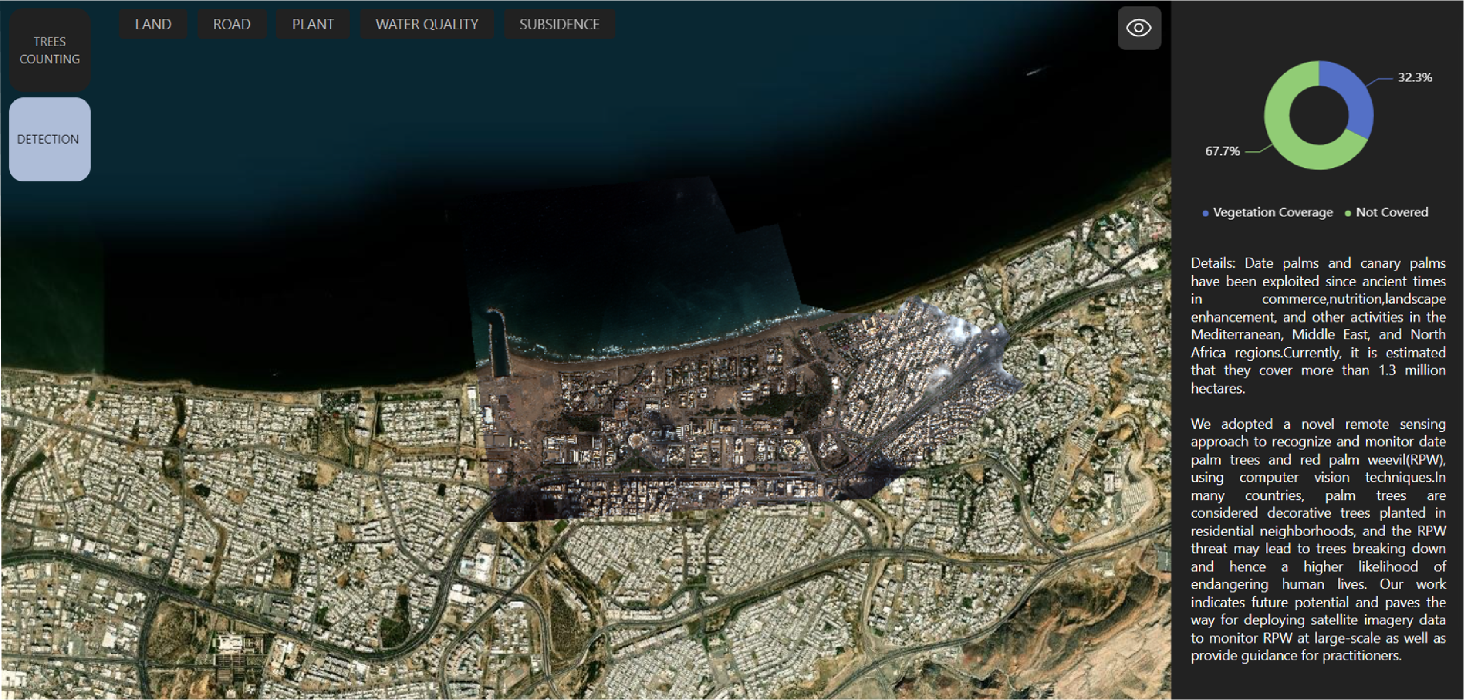
SANYA
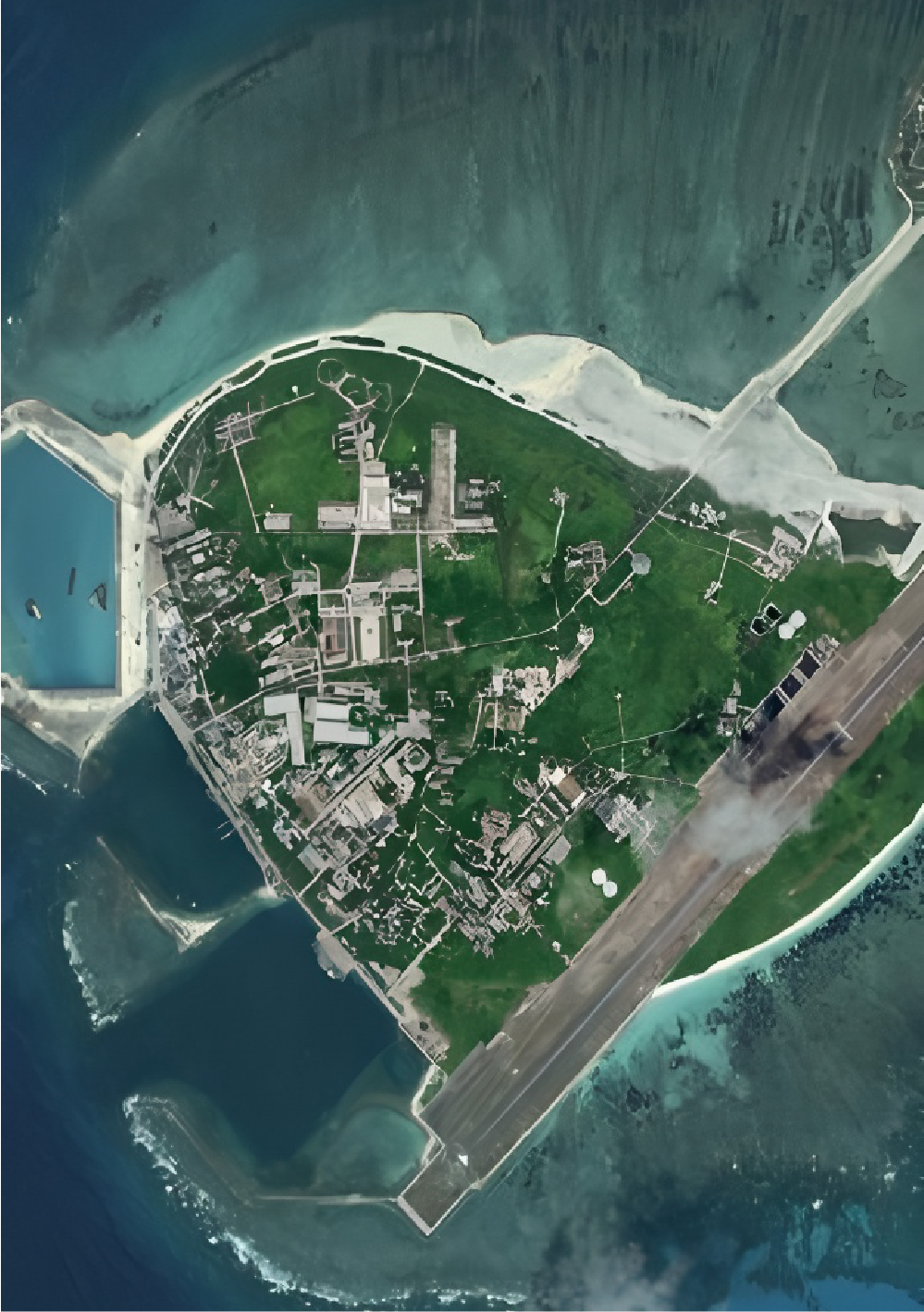
YONGXING Island
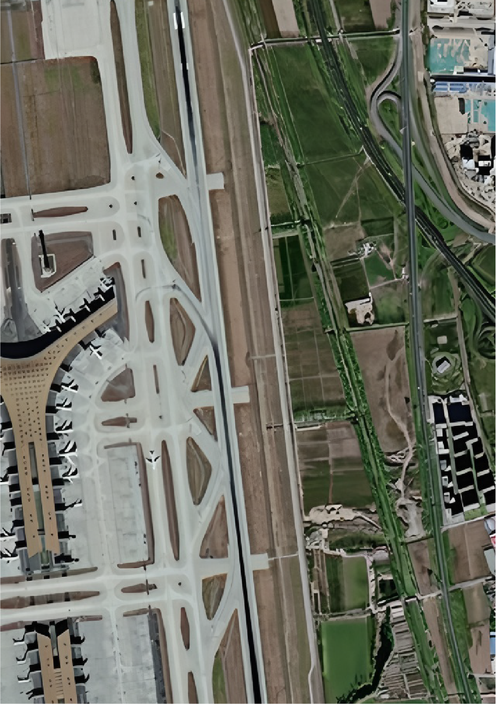
PEK Airport
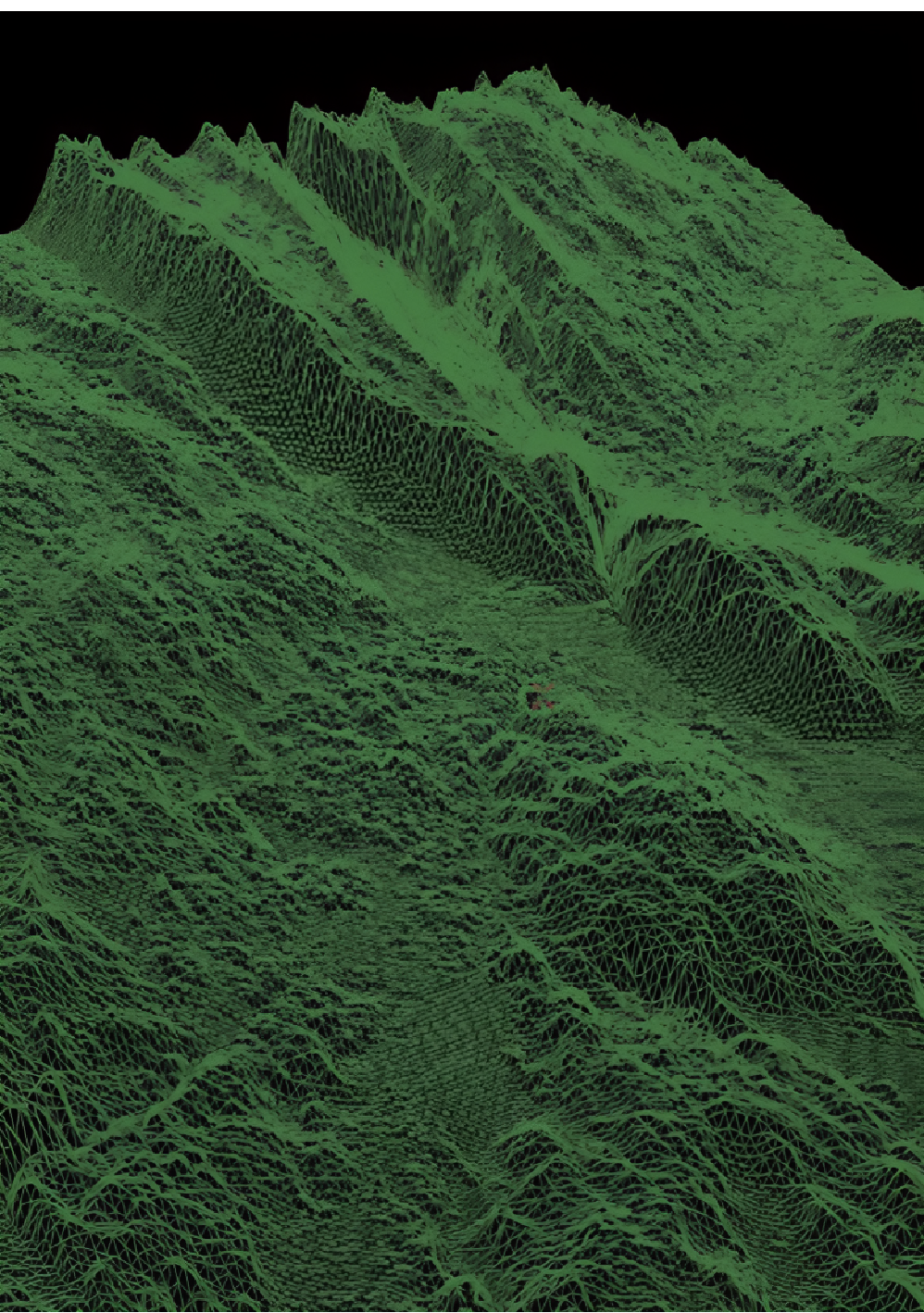
DEM
Digital Elevation Model
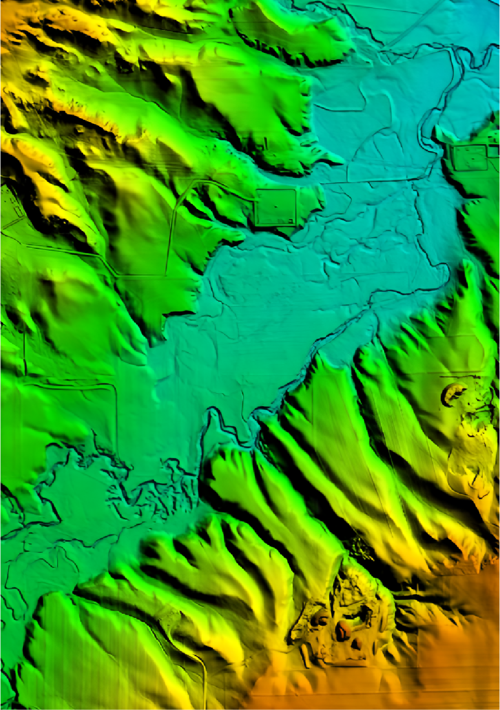
DTM
Digital Terrain Model
DSM
Digital Surface Model
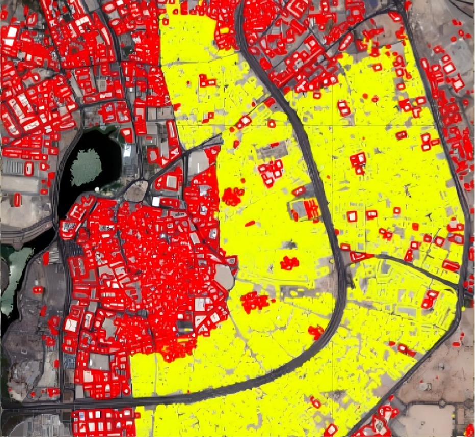
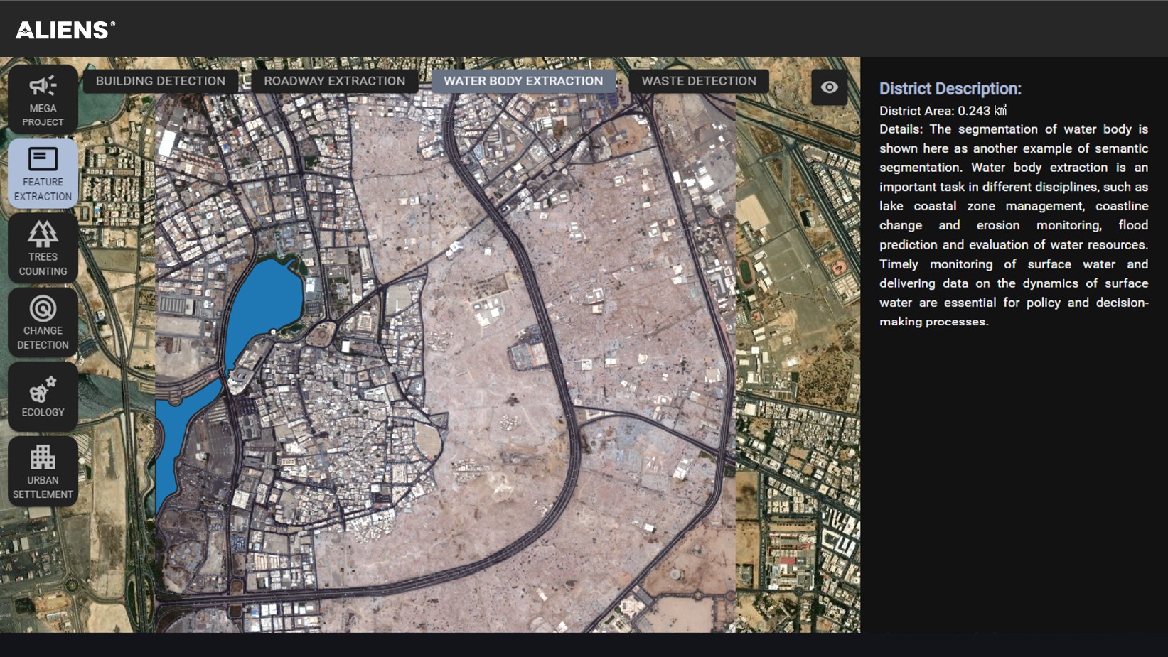
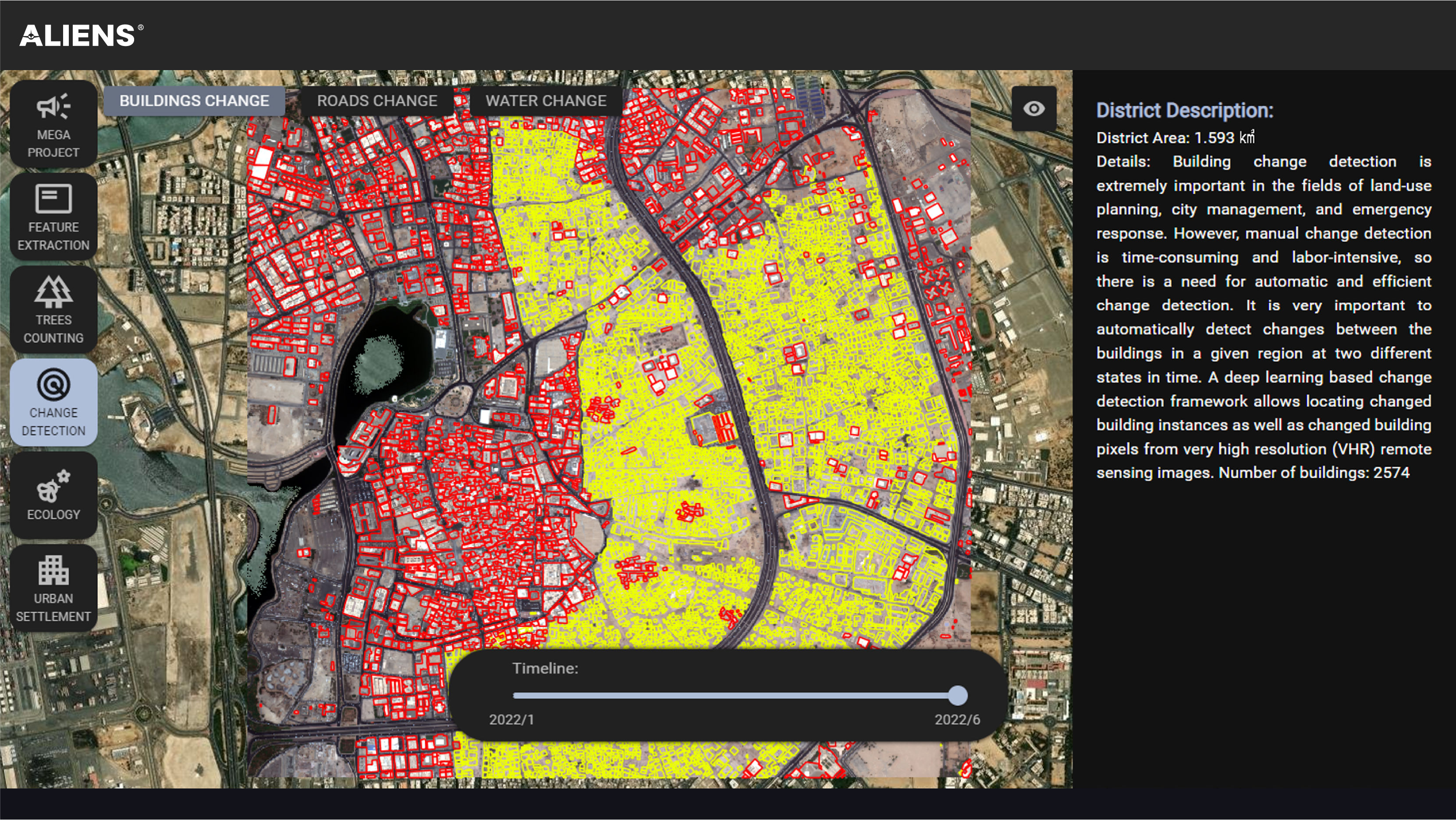
Land Change Monitoring
Urban Change Detection
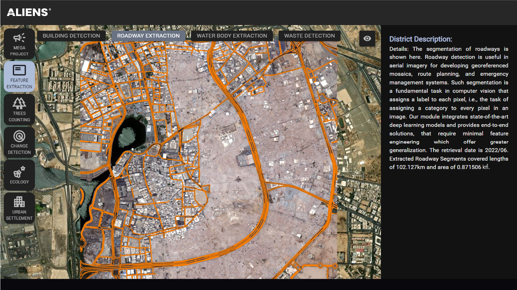
Quantitative analysis and determination of the characteristics and processes of land surface change from remote sensing data of different periods.
Original Image
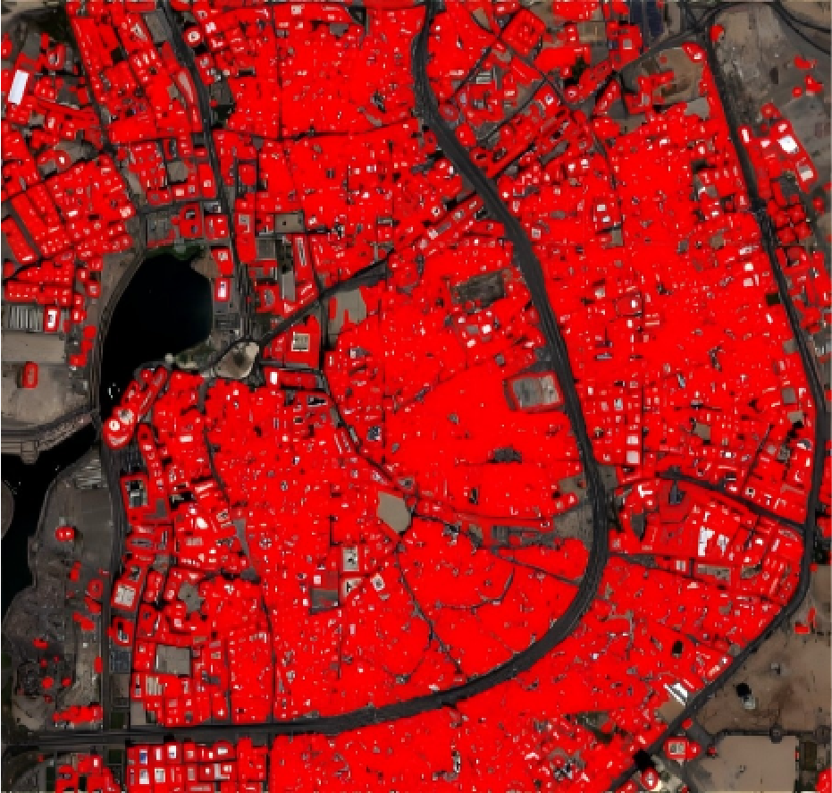

Changed Image
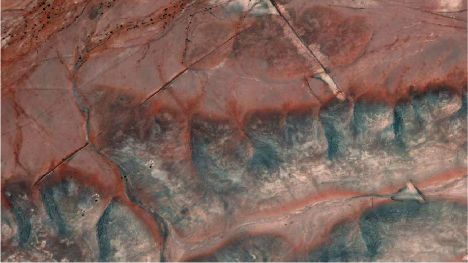
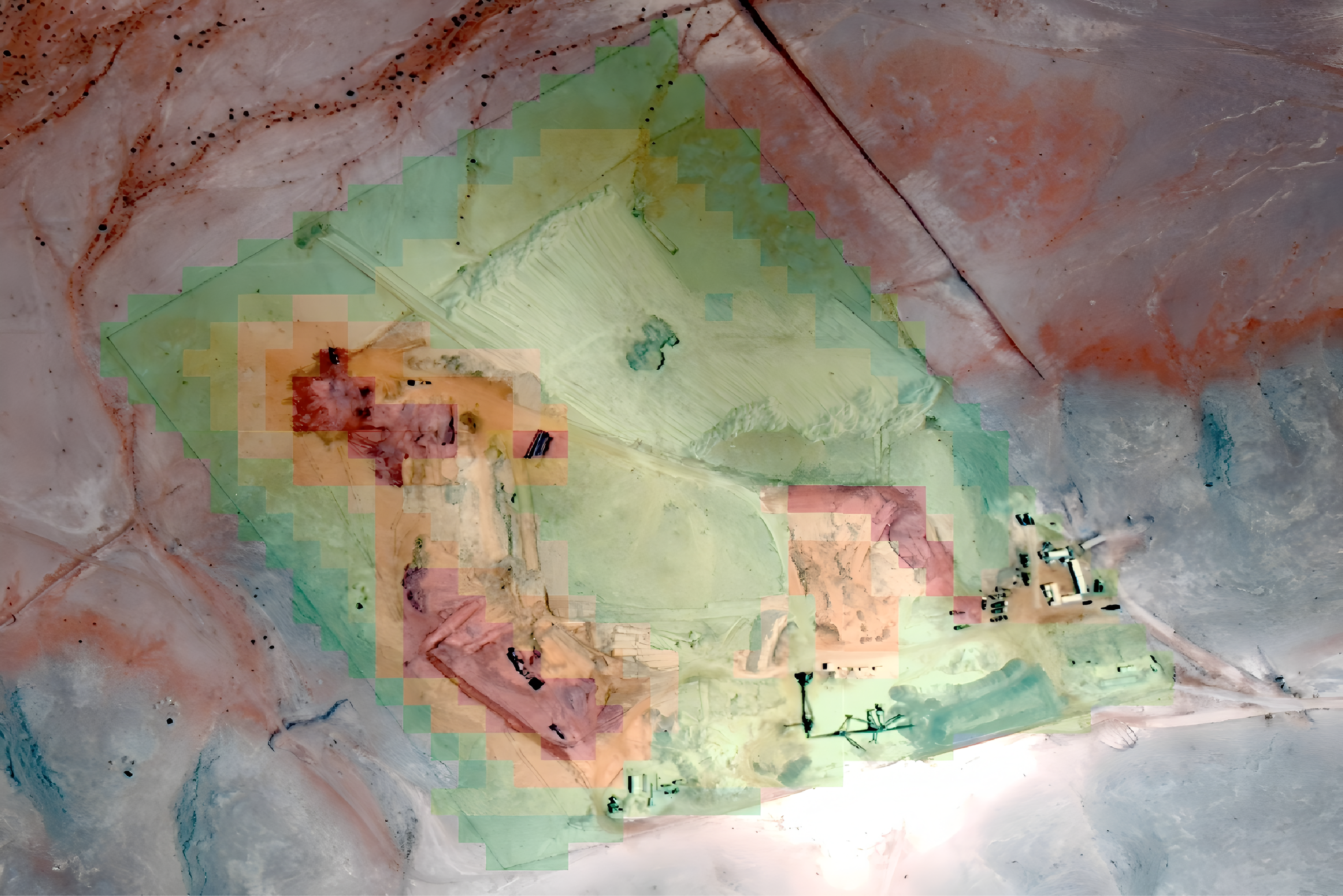
Mining Change Detection
Time Series Satellite Images of A Specific Mining Site
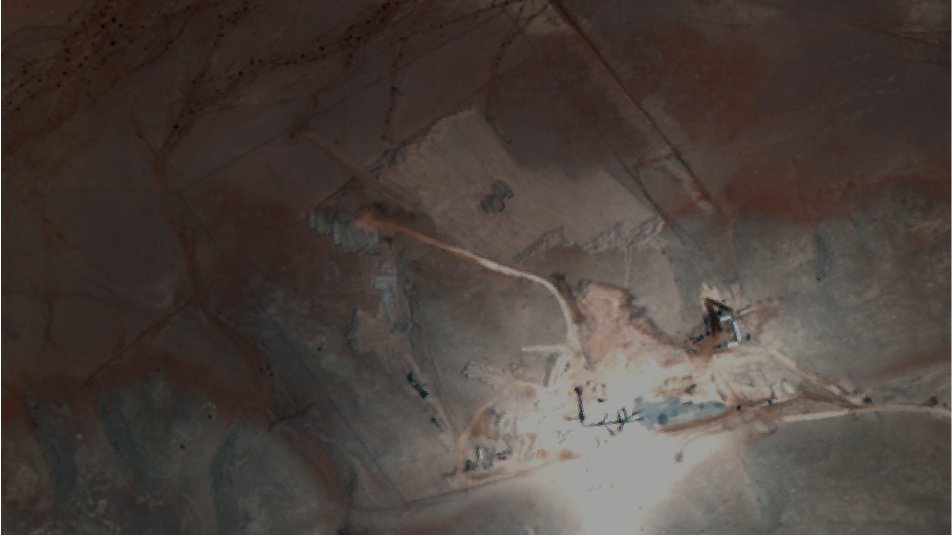
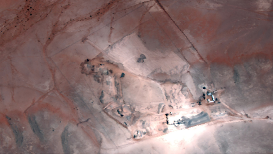
Pixel-Level Change Rate of Mining Site Monitoring
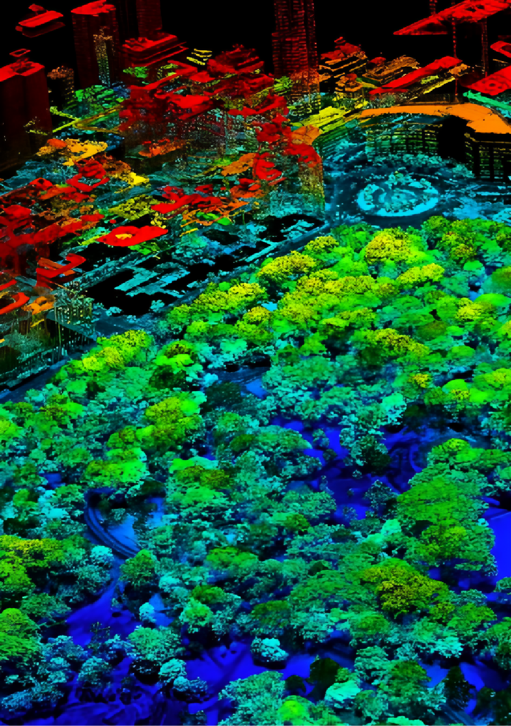
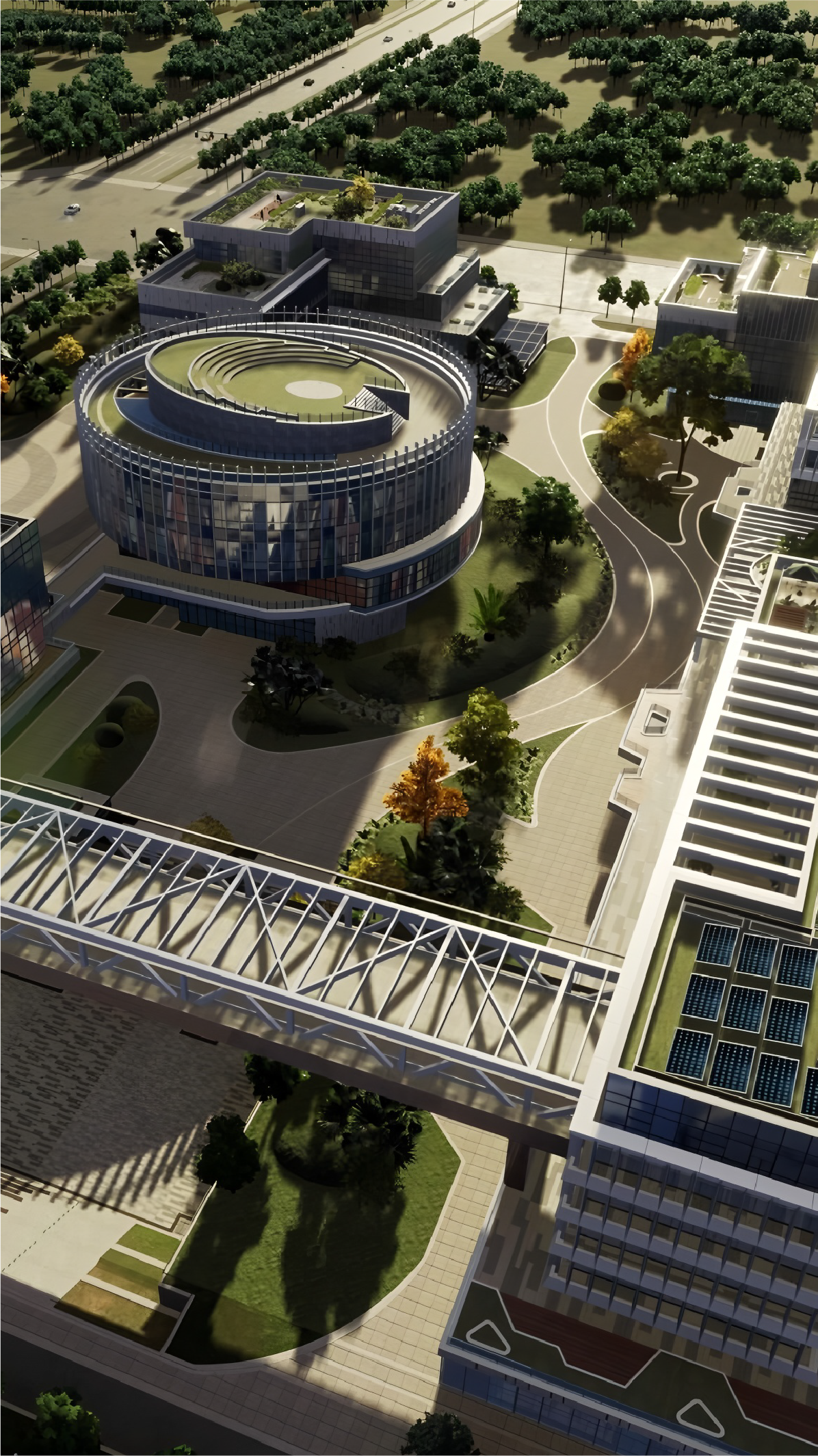
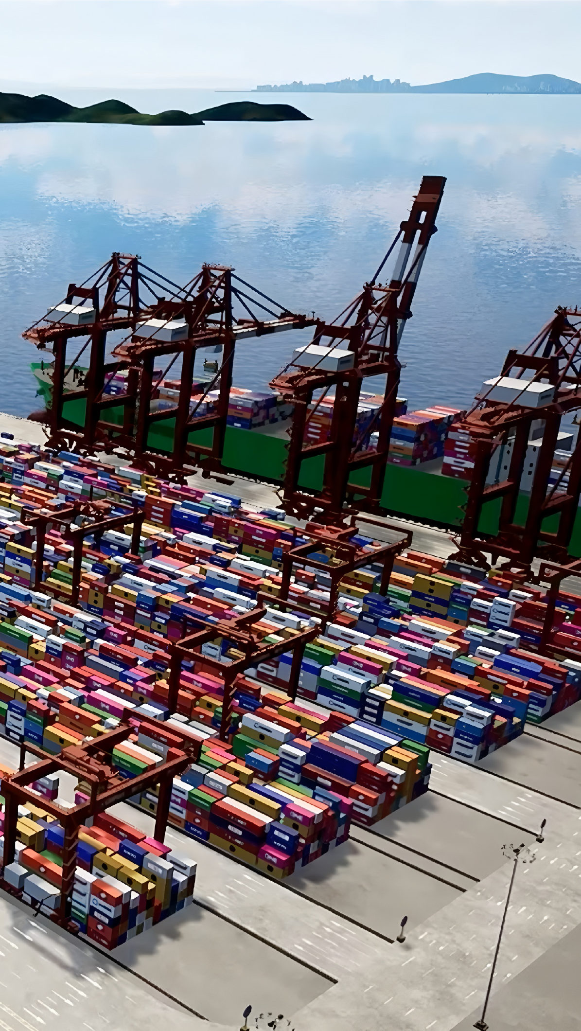
Digital Twin: Intelligent City Management Services

- New District and City Development
- Developed City
- CBD
- Corporate/Campus
- Community
- Large Venue
- Touristic Park
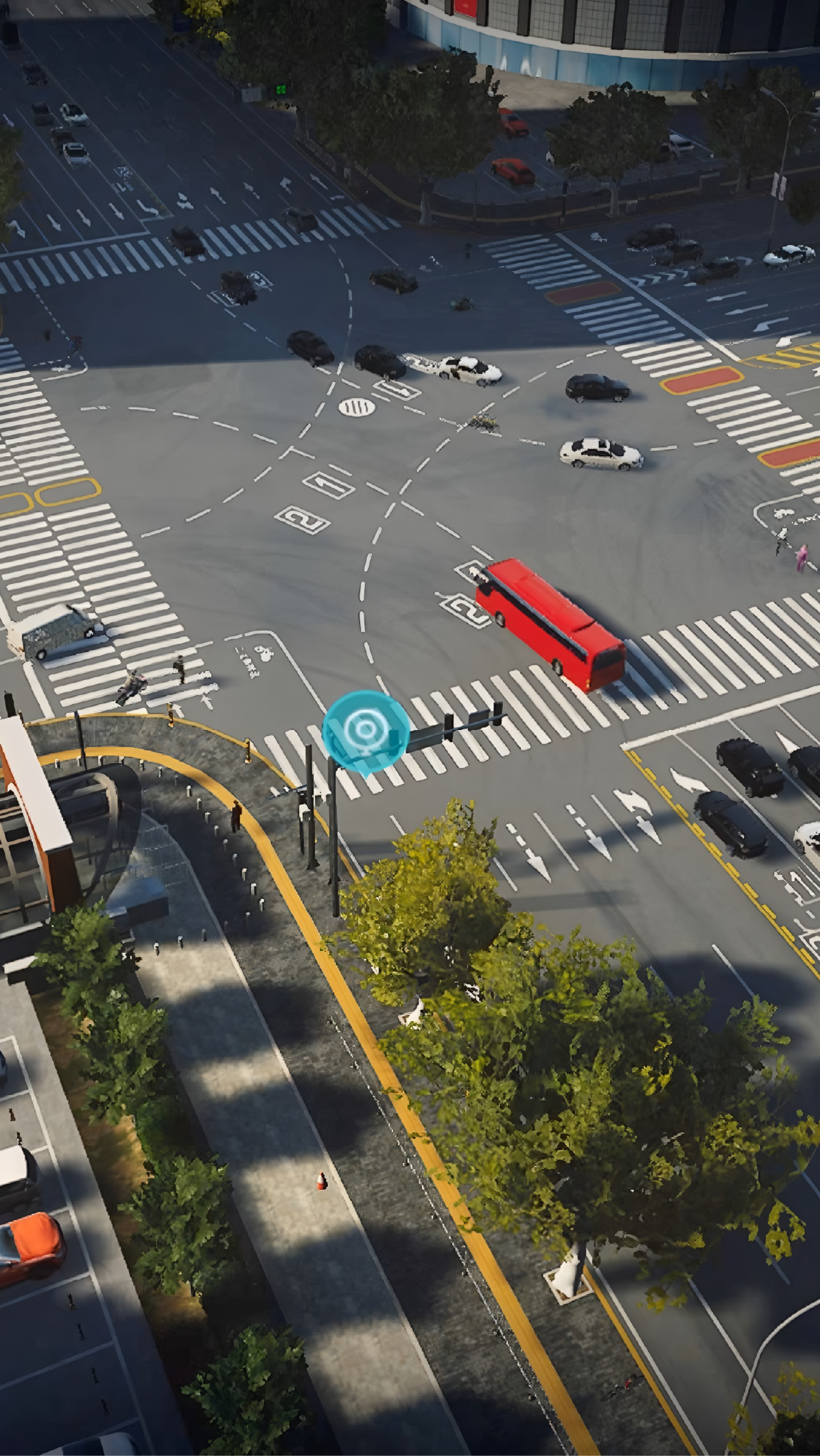
- Autonomous Driving
- Transport terminal
- Bridge and Tunnel
- Highway
- Manufacture
- Smart Energy
- Aerospace
- Logistics and Ports
- Water Utilities
- Water Conservation
- Flood control
- Water Environment Management
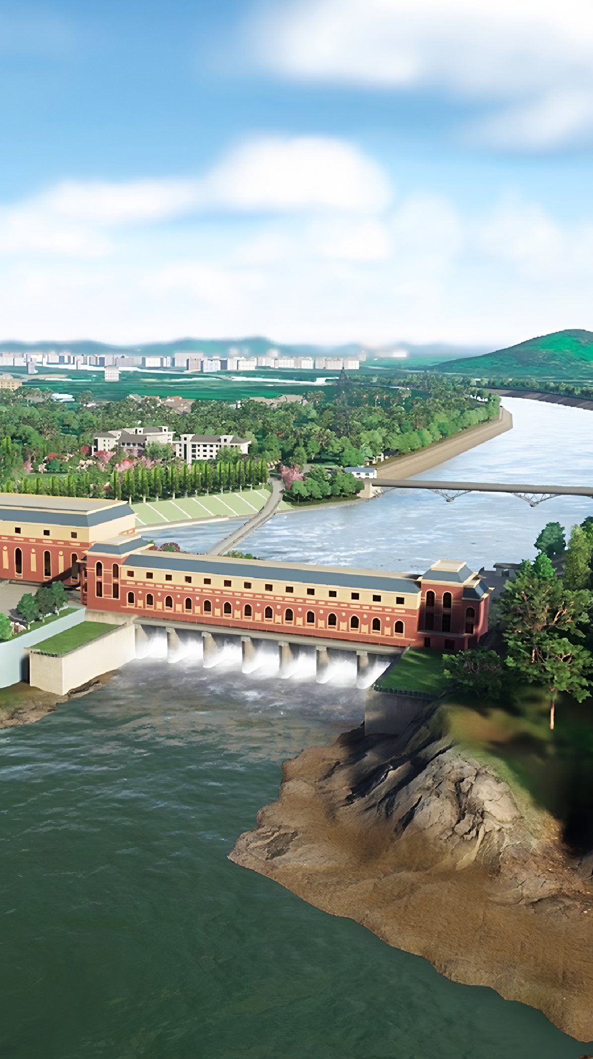
Digital Twin 3D Reconstruction

Muscant, Oman
Imagery Service

Restful API
Distribute RS data and other multi-source data results as an 'API Interface' to 3rd party platform.

Online Preview
Direct online preview of RS analysis results and multisource data results via the interface.

Data Access
Both client and server side of the system can interact with data through API calls.
SDK AND PLATFORM PRODUCTS
Support localized deployment and cloud deployment
Realize the full-business process monititems
Provide standard visual management platform, data service
Example of VHR Satellites
Oriental Smart Eye PNTRC-GF01
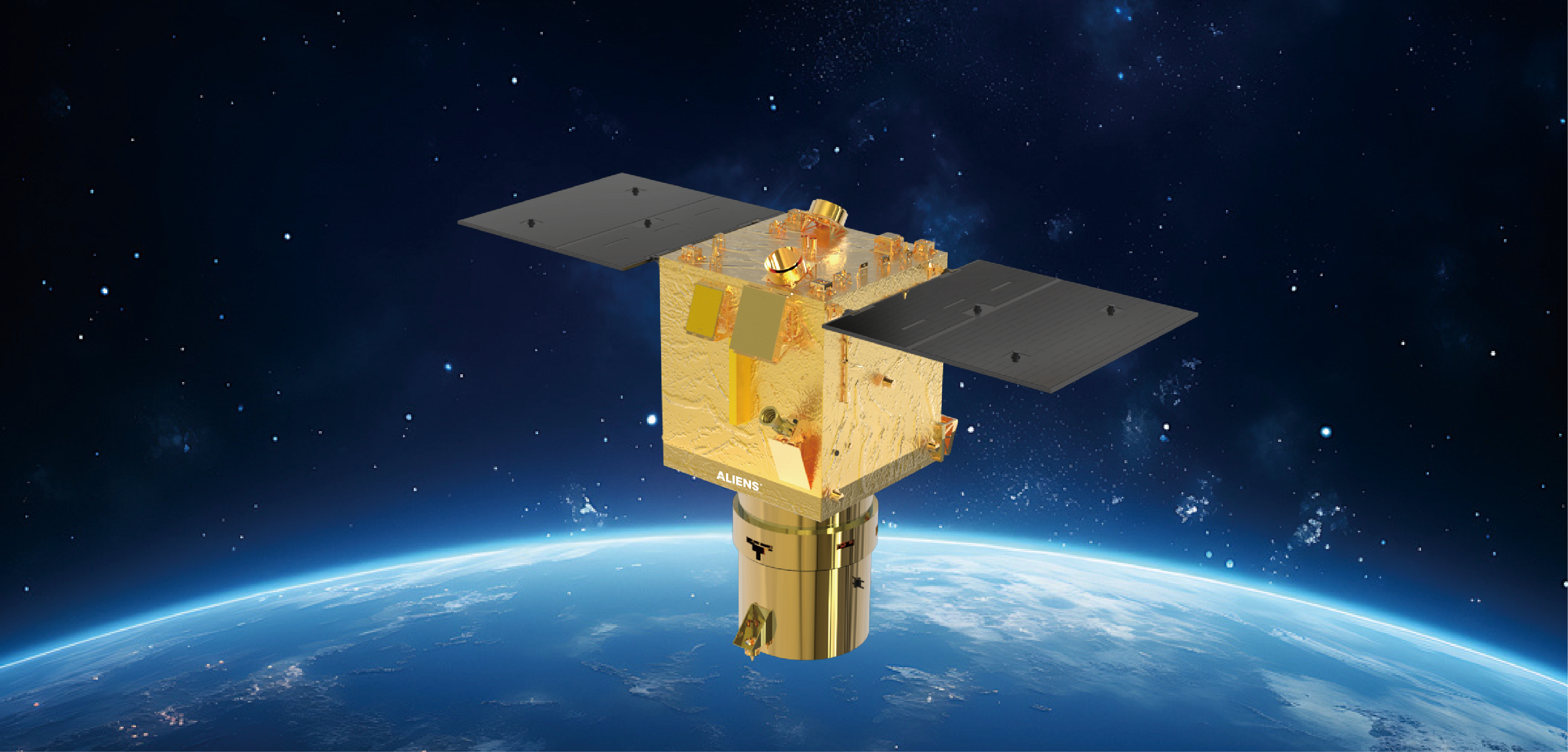
≤0.5m GSD Al Optic Satellite
0.5 m
Resolution
12 km
Swath
12 bits
Orbit Altitude
5 day
Revisit Period
With AI Algorithms