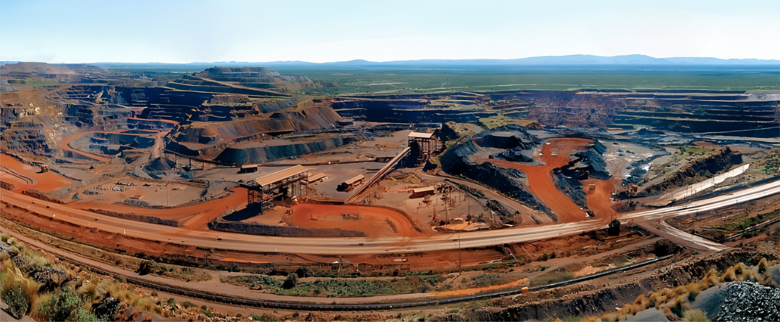
Aliens Smart Mine Solution
we move at speeds of light
ALIENS SMART MINE SOLUTION
GO WHERE AI HAS NEVER GONE
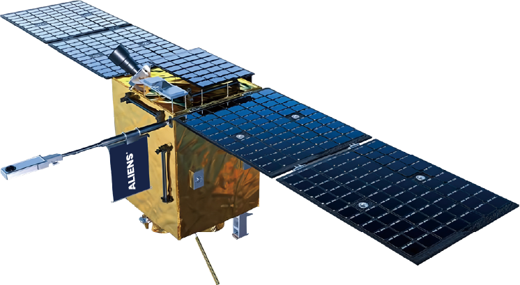
Wonder Journey™ Series
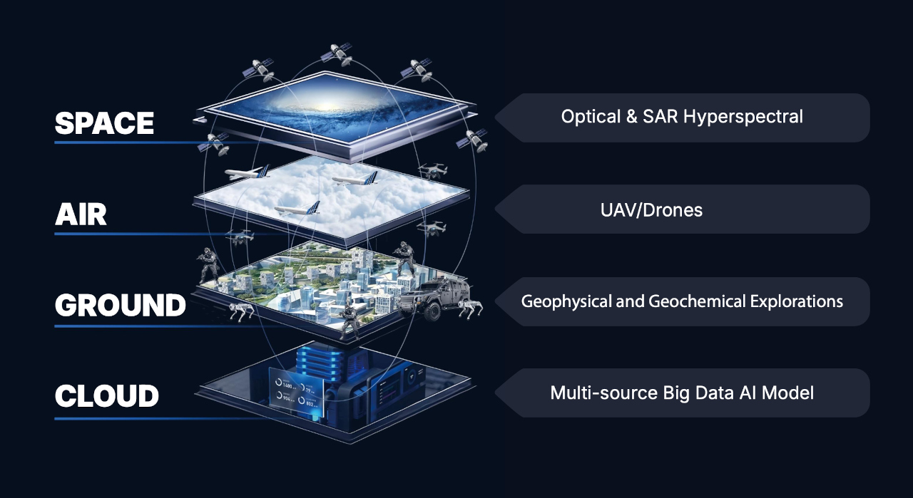
Optical Remote Sensing
≤1m Resolution
≤1m Resolution
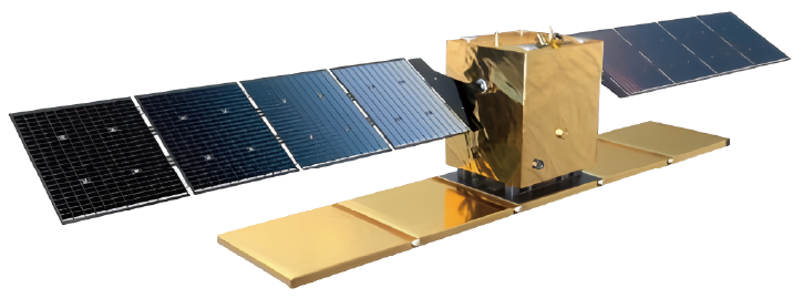
Wonder Explore™ Series
Synthetic Aperture Radar (SAR)
X band, Phased Array Antenna
X band, Phased Array Antenna
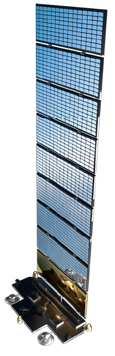
Wonder Link-1™ Series
Broadband Communication
10Gbps Transmission Capacity
10Gbps Transmission Capacity
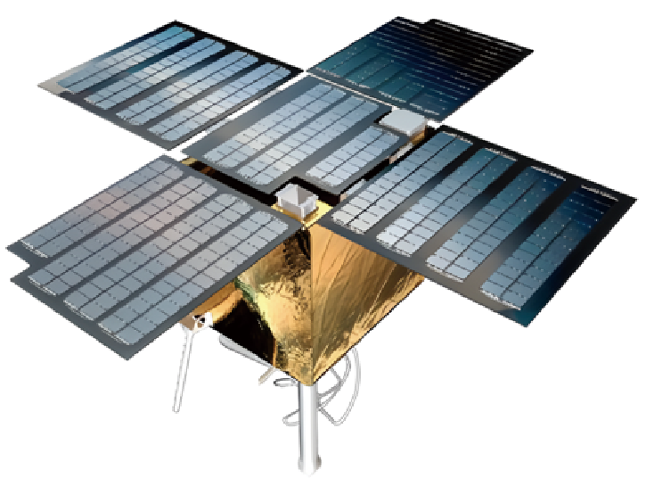
Wonder Link-2™ Series
Narrowband Communication
Over 100,000 Times
Communication Per Hour
Over 100,000 Times
Communication Per Hour
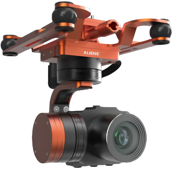
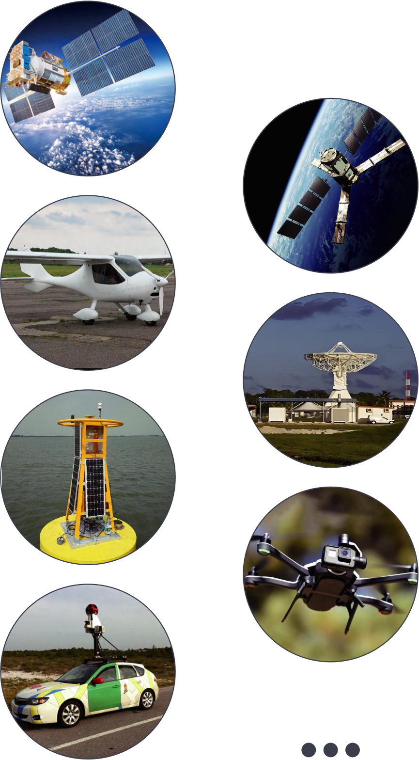
Optical Payload
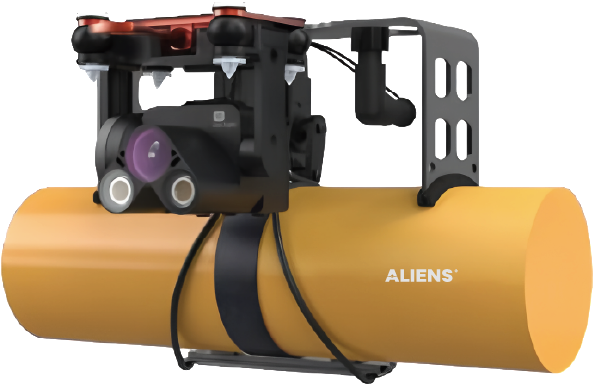
SAR Payload
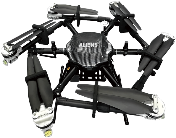
Drone
Multi-functional Payloads
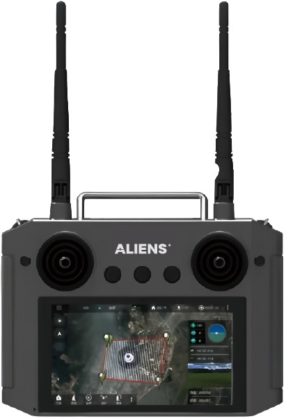
Remote Controller
Integrated System
Satellite DCS Module
Camera
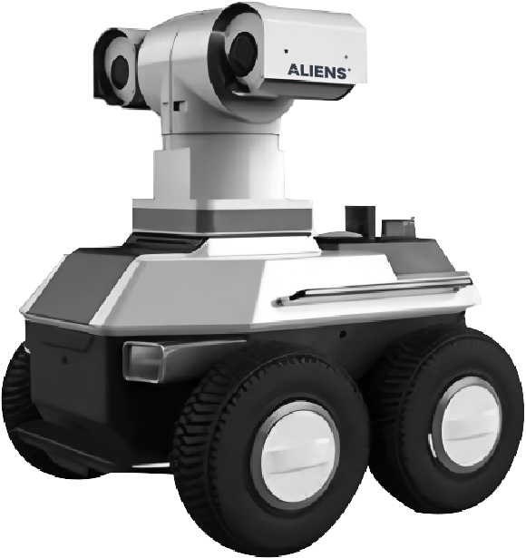
AI Robot

STARDUST™
SKYVIEW™

SKYVIEW STORE™
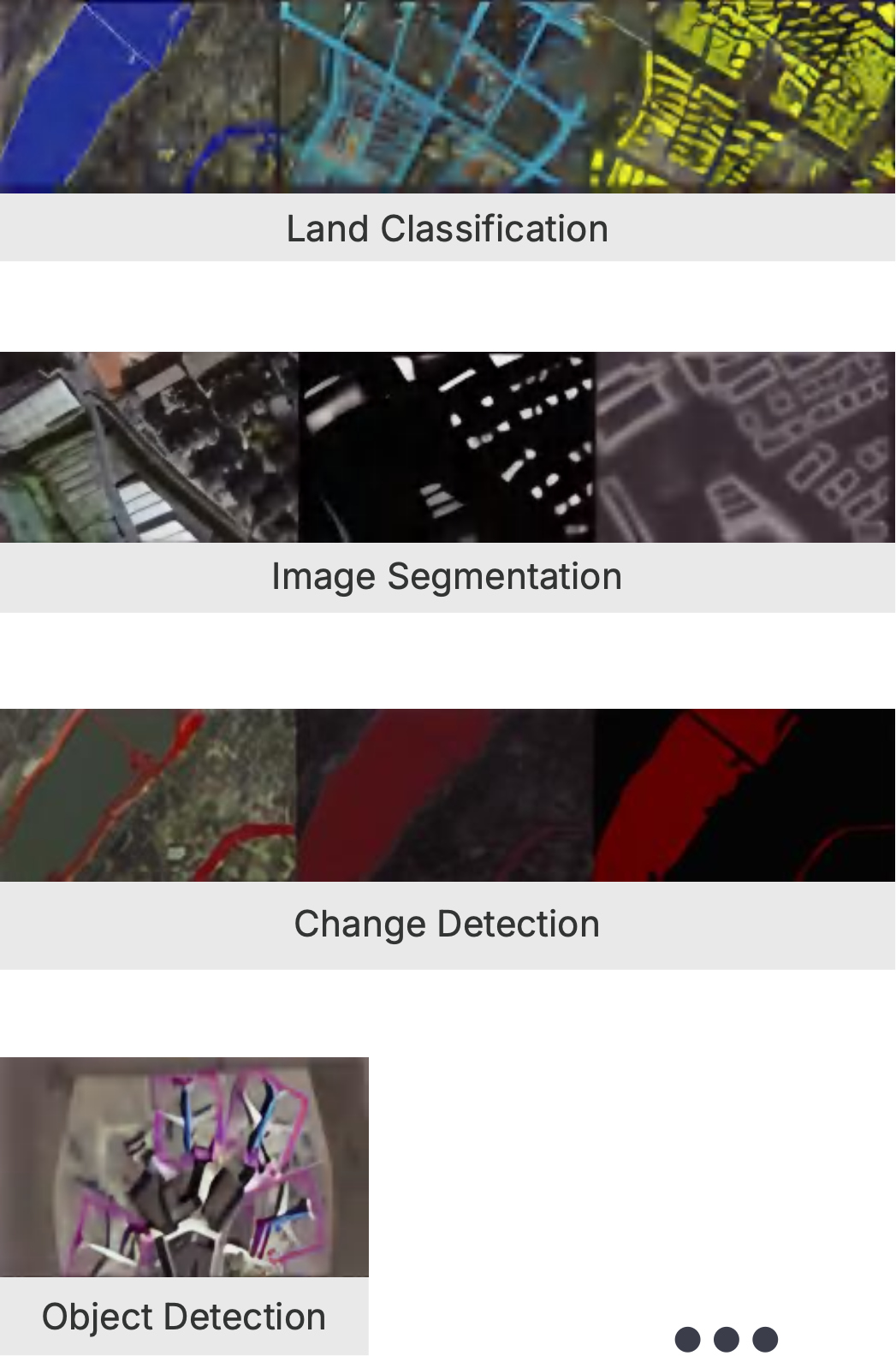
Big Data

Foundation Models
1
Proprietary Satellites
2
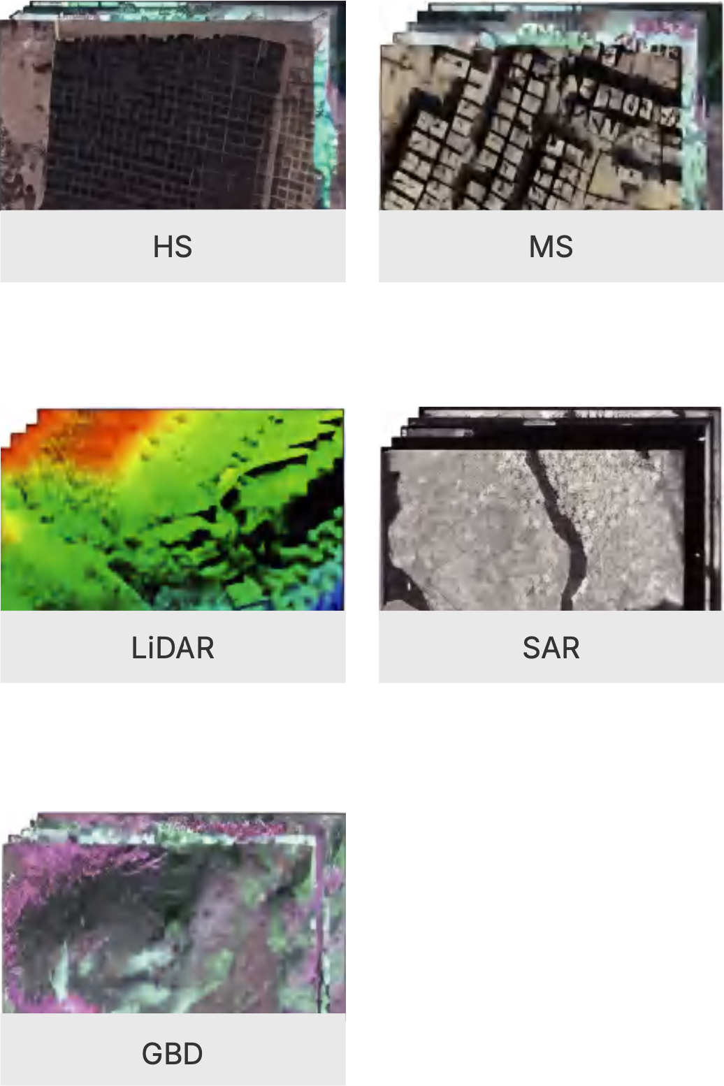
Leading Technology On Multi-Modal Data Fusion
3
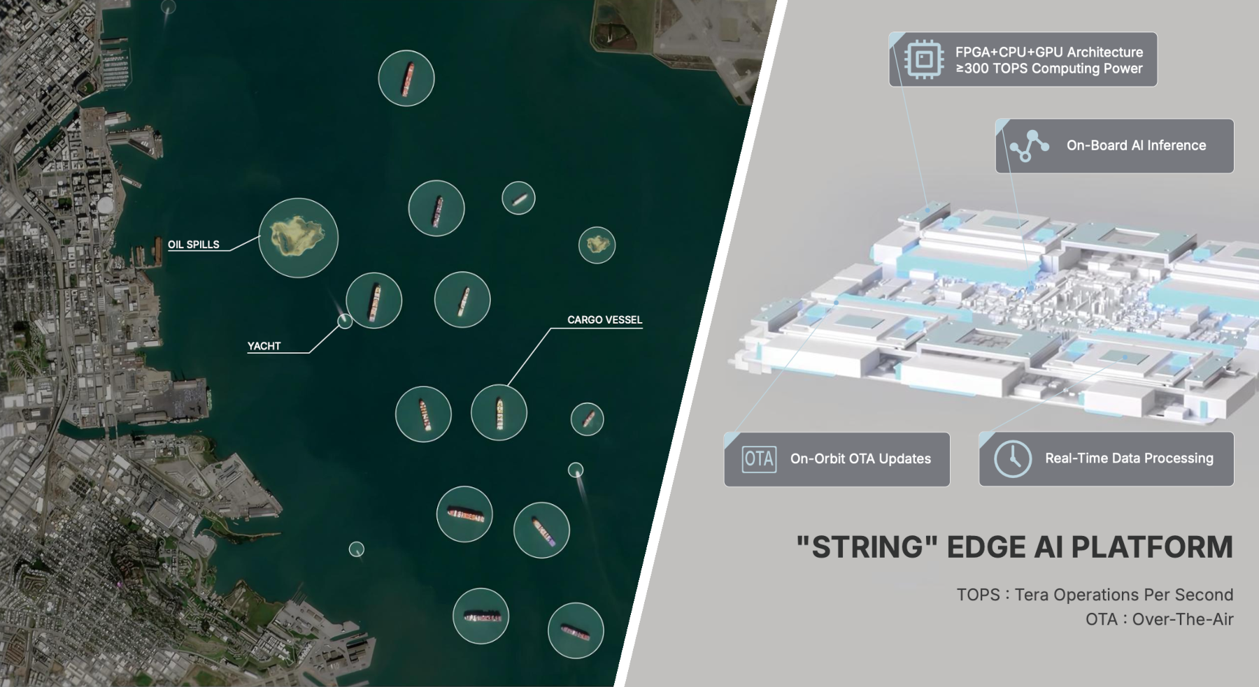
With In-Orbit Ai Processing, Delivery Is Achieved In Hours

4
Comprehensive Multi-Modal Data