

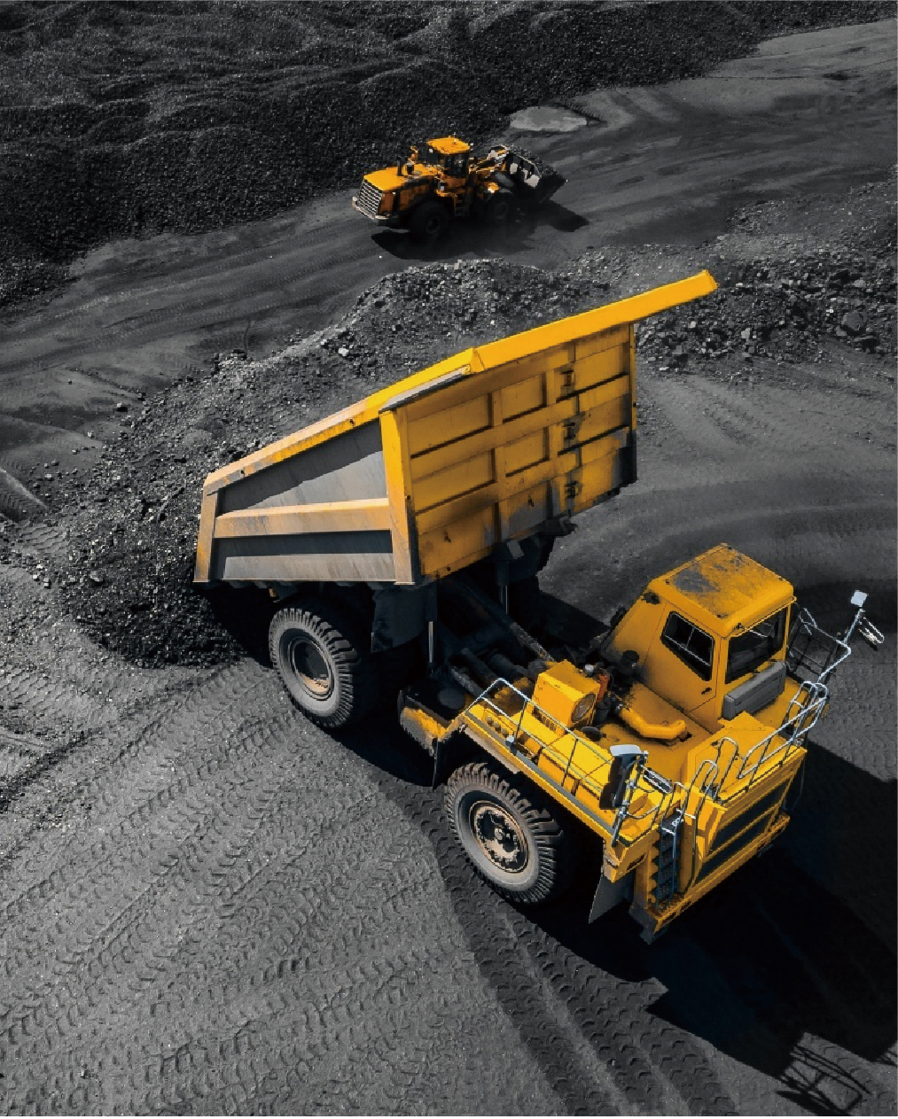
Aliens Smart Mine Solution
we move at speeds of light
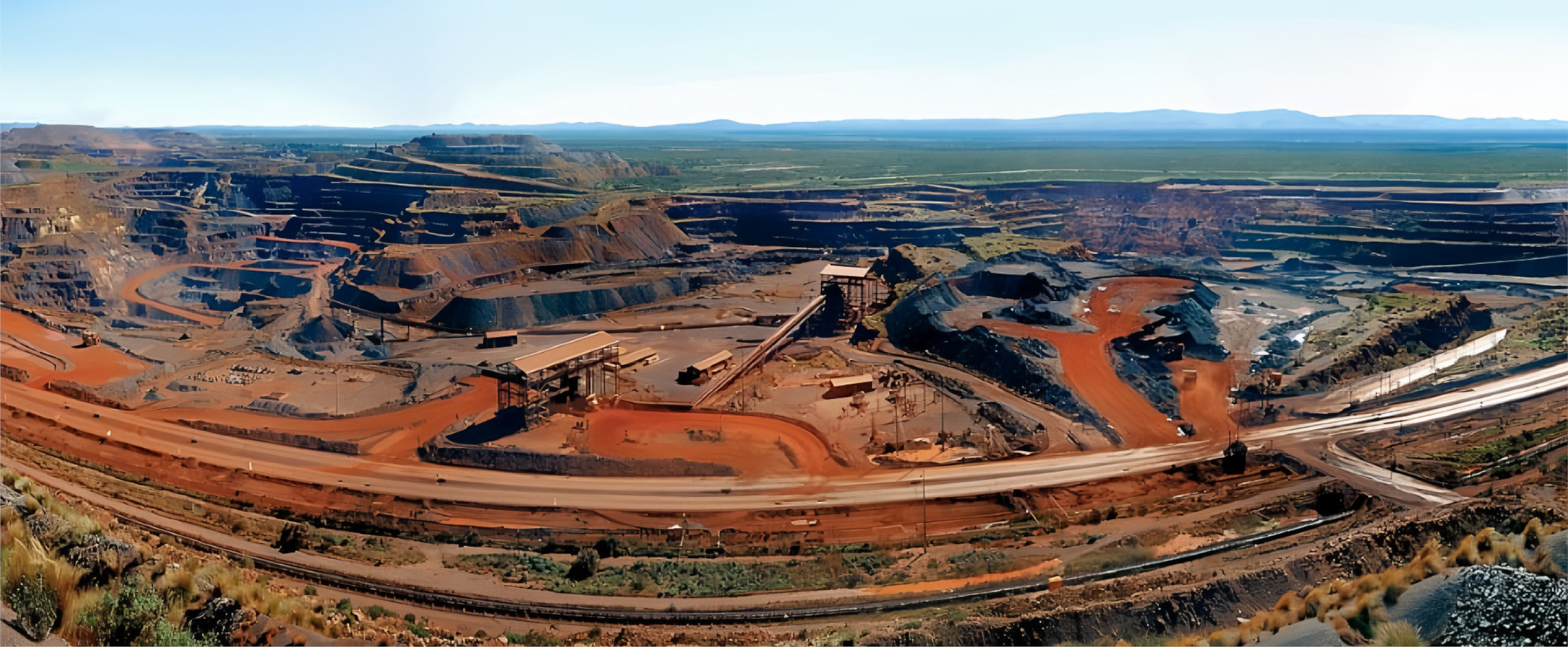
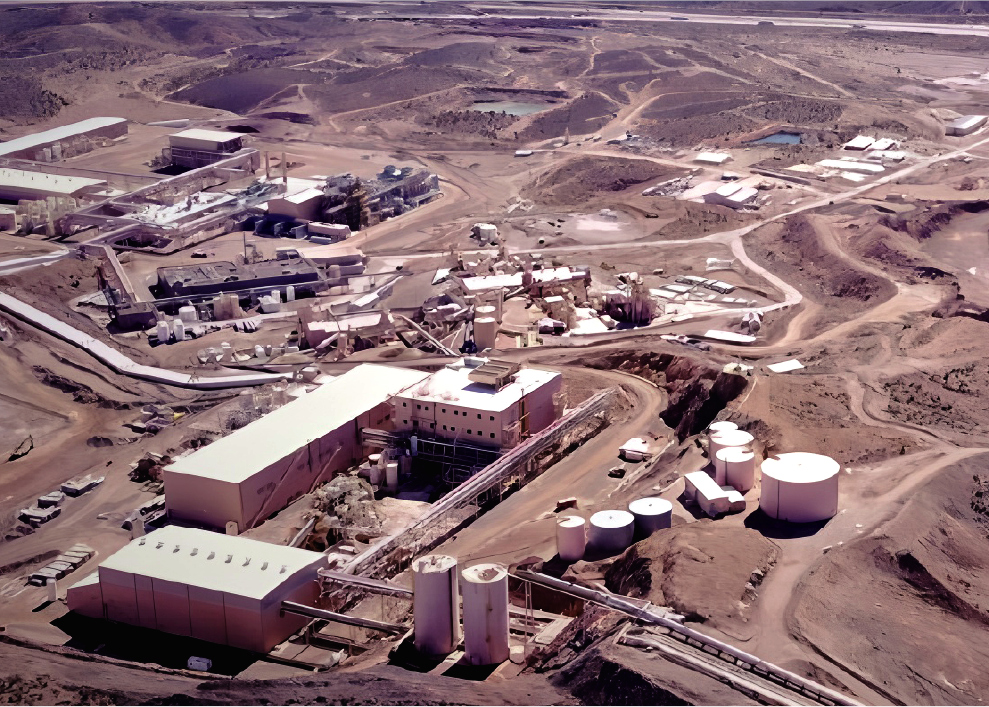
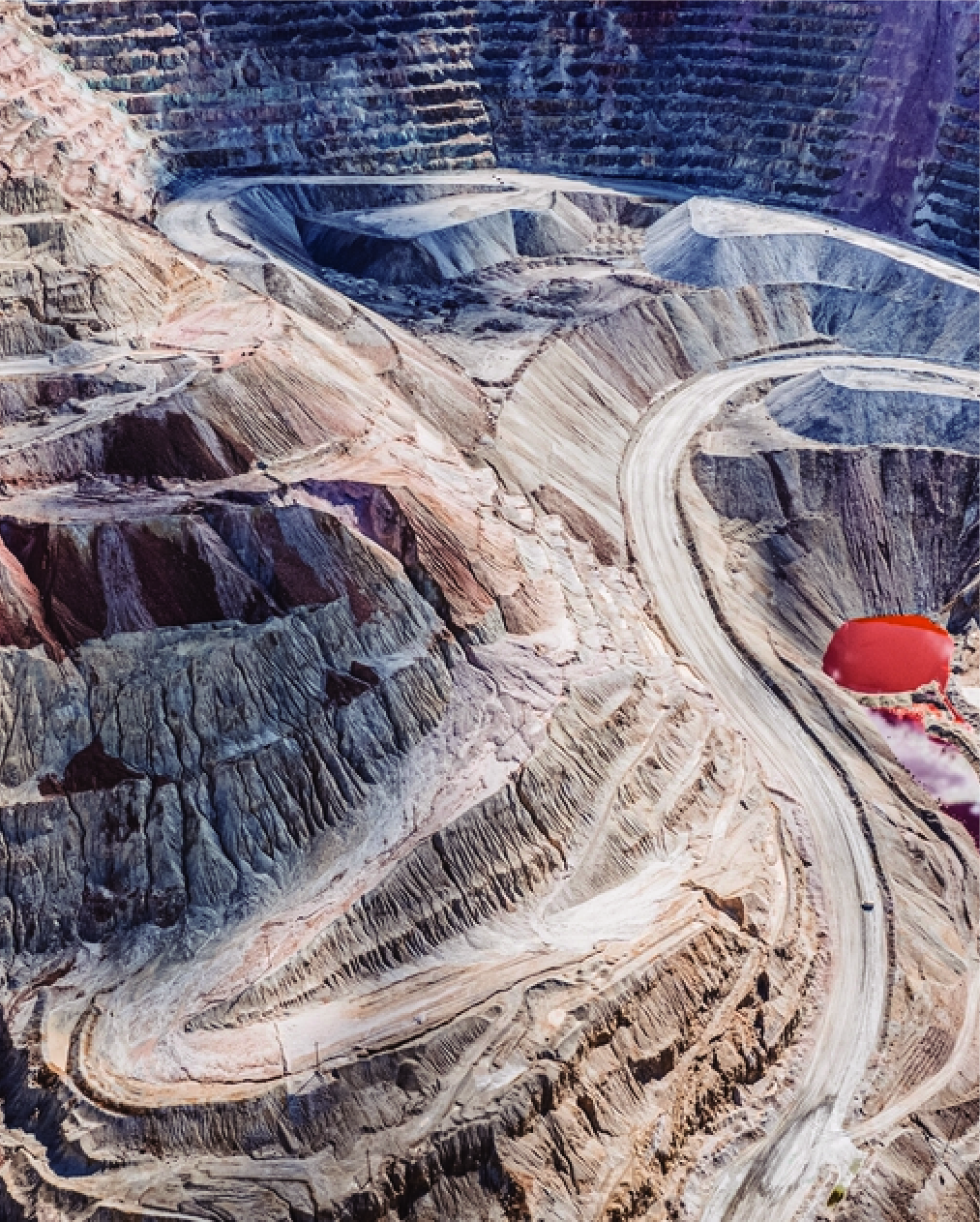
STATE & CHALLENGES OF MINERAL RESOURCES


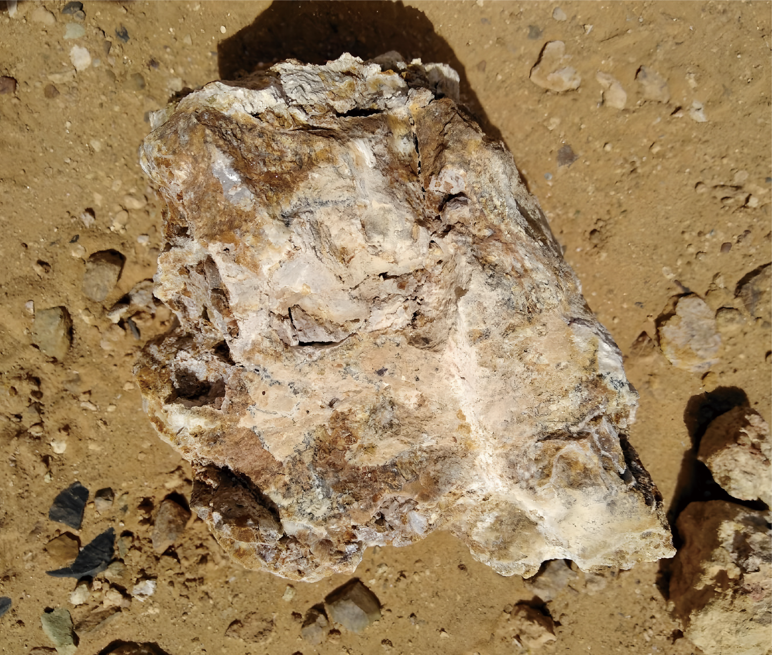
NEW EXPLORATION STRATEGIES
WHERE to explore
Targeted exploration based on categorized strategies
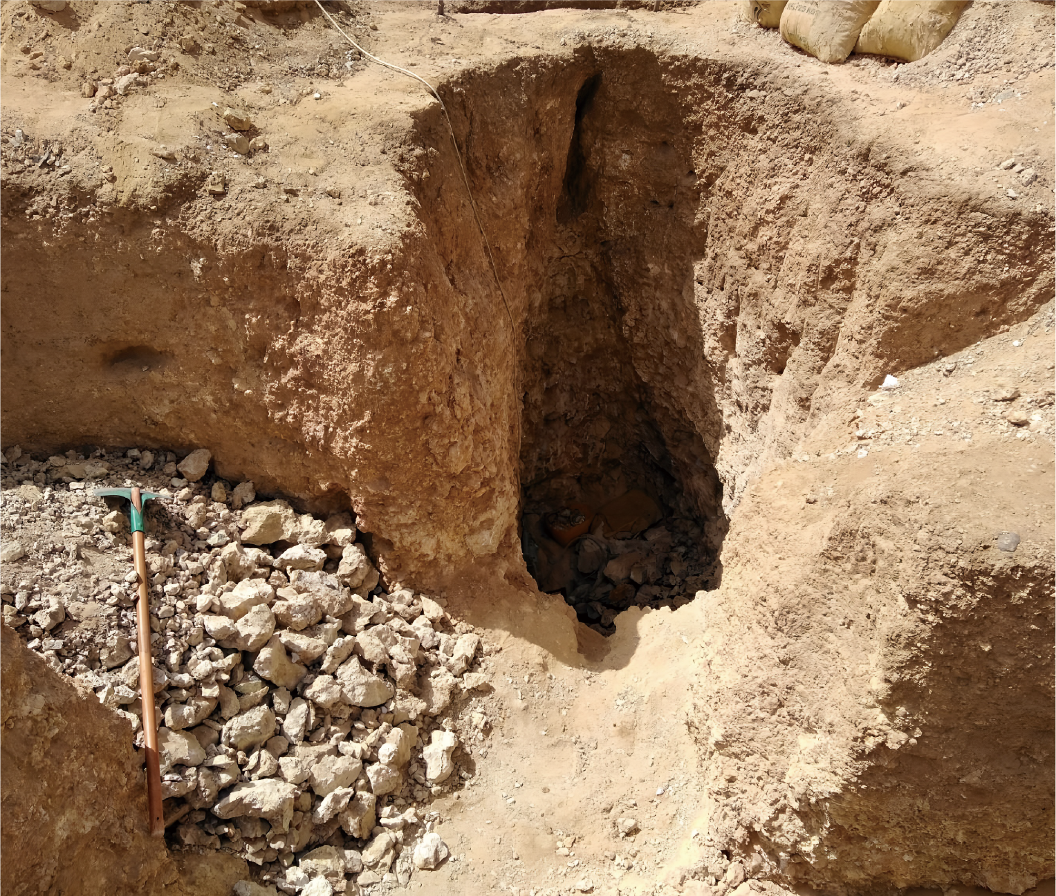
WHO will explore
Encourage participation of market players and incenstivize exploration
HOW to explore
Leverage innovative technologies
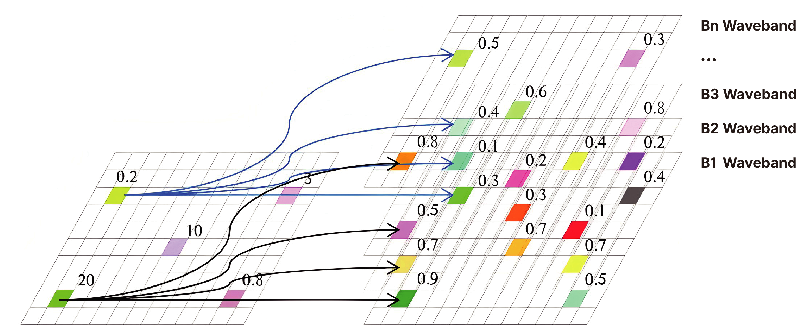
TECHNICAL SUPPORT - REMOTE SENSING
Remote sensing identifies minerals by analyzing unique spectral features.
Develop models for different ore types based on spectral features, aiding exploration for key resources such as copper, gold, and iron.
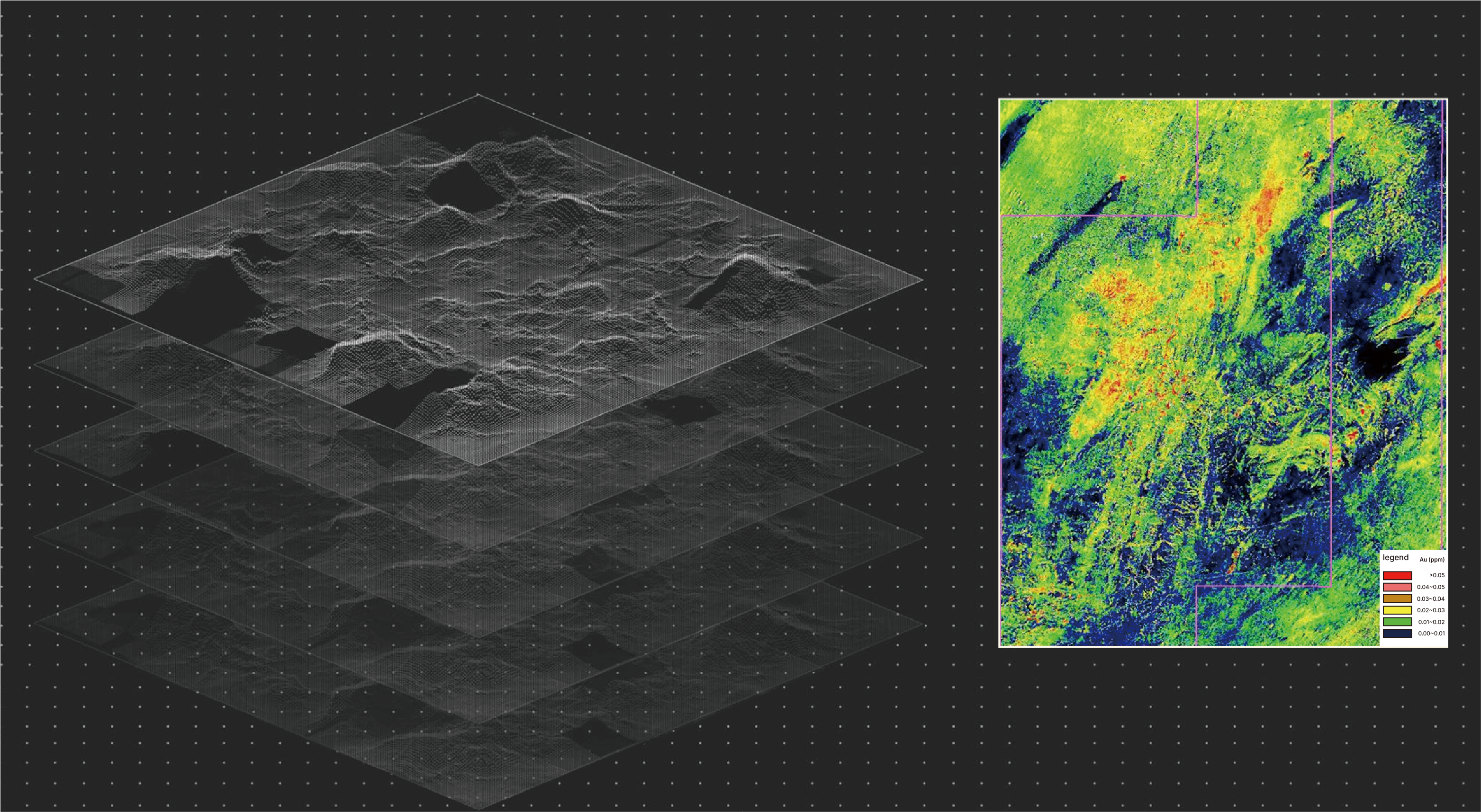
HYPERSPECTRAL IMAGERY & GEOCHEMISTRY
Establish models linking element abundance to spectral features, then use the models to estimate element concentrations in unexplored areas.
ANALYZE & PREDICT
DATA PRODUCTS
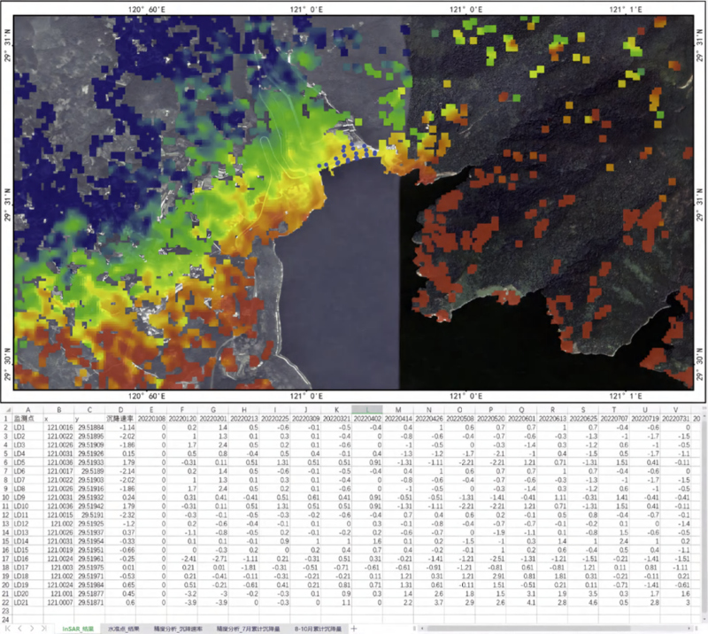
The data products utilize satellite remote sensing monitoring big data and provide comprehensive data results such as settlement monitoring of mines, slopes, roadbeds, tailings, over-exploitation, illegal mining and surrounding ecological monitoring in the form of data thematic maps or data packages.
Special data report
Original data
Customizable service reports