Aliens Smart Agriculture & Forestry Solutions
we move at speeds of light
PRODUCTS & TECHNOLOGY
Wonder Journey
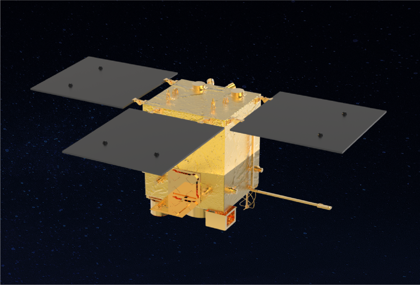
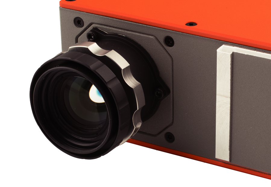
Sub-Meter Optical Remote Sensing Satellite
- Mass of 60kg
- Optical Resolution <1 Meter
- Multispectral Resolution <2.5 Meter
- On-Orbit EDGE Al with 60+ TOPS Computing Power
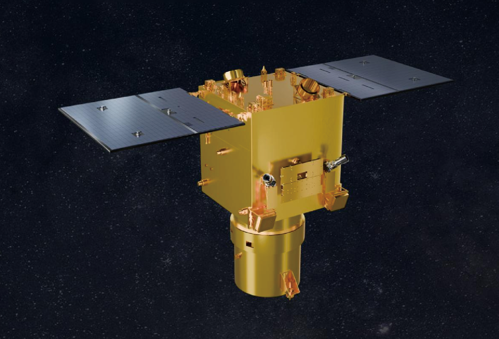
Wonder Explore
Synthetic Aperture Radar (SAR) Satellite
- High-Performance Functional SAR Satellite
- 1 Meter Resolution
- Phased Array Antenna
- All-Weather Remote Sensing
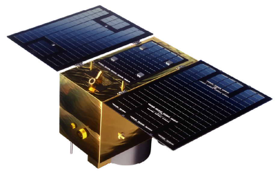
Wonder Journey
Optical Satellite High-Resolution
- Mass of 80kg±5kg
- Optical Resolution <1 Meter
- Computing Power ≥300TOPS
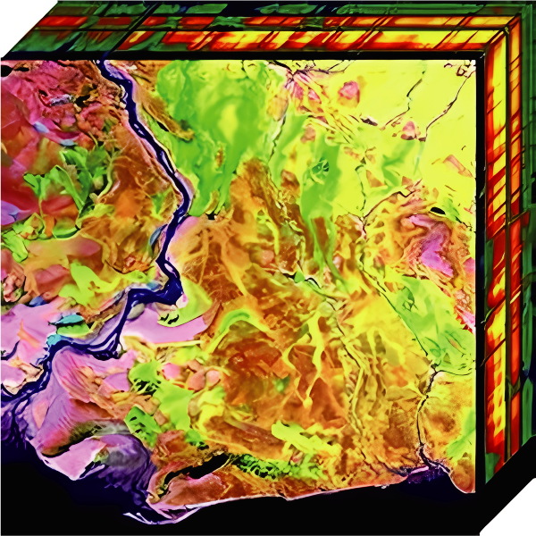
OSE PNTRC-GFO1
High Resolution Optical
- 0.5m Resolution (PAN)
- 12km Swath Width
- 5~7day Revisit Period
- 2m Resolution (MS)
- 12bits Dynamic Range
FEATURES & ADVANTAGES
Wide-Scale with Fewer Limitations
Satellite remote sensing can perform a wide range of earth observation tasks in a short period of time. Macroscopic observation is very important for the analysis of earth environment and resources.
Effectiveness with Low Cost
High effectiveness, short time cycle of information acquisition for dynamic monitoring, which is incomparable to manual field measurement and aerial photogrammetry. The overall cost is far lower than other remote sensing modes.
High Accuracy Multi-Application
Various types of sensors (visible light, hyperspectral, microwave,etc.), combined with high spatial resolution, to achieve more accurate and detailed earth observation; Different data types are applicable to multiple application scenarios.
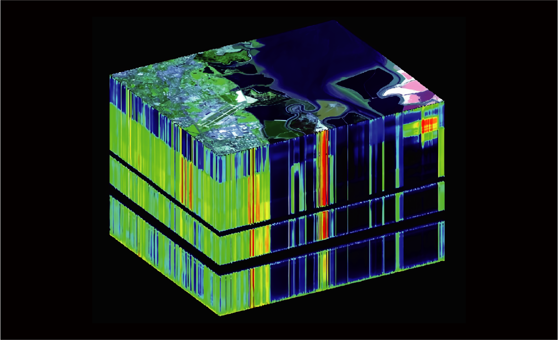
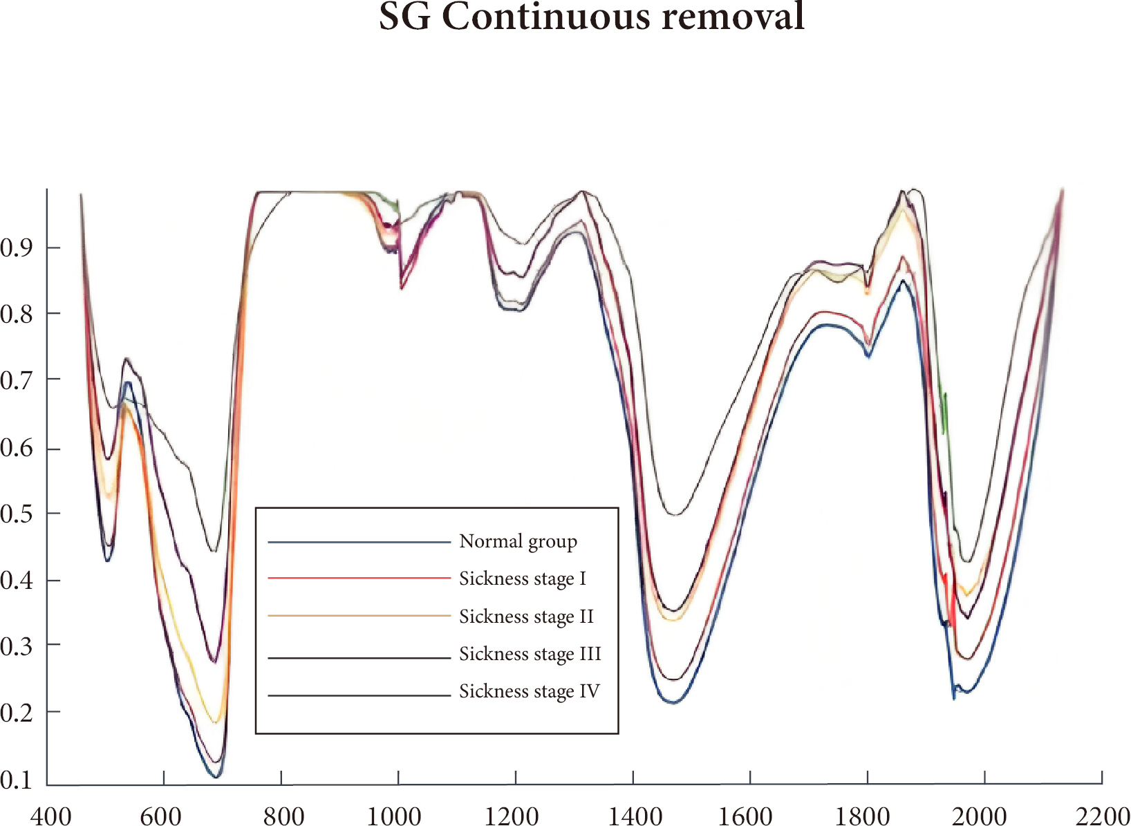
MULTISPECTRAL / HYPERSPECTRAL TECHNOLOGY
Multispectral refers to the spectrum detection technology that can simultaneously obtain multiple optical spectrum bands (usually more than or equal to 3) and extend to infrared and ultraviolet light on the basis of visible light. Hyper-spectroscopy is a fine technique that can capture and analyze the spectrum point by point in an area, usually with hundreds or even thousands of bands. Because unique spectral "signatures" at different spatial positions of individual objects can be detected, substances that are visually indistinguishable can be detected.
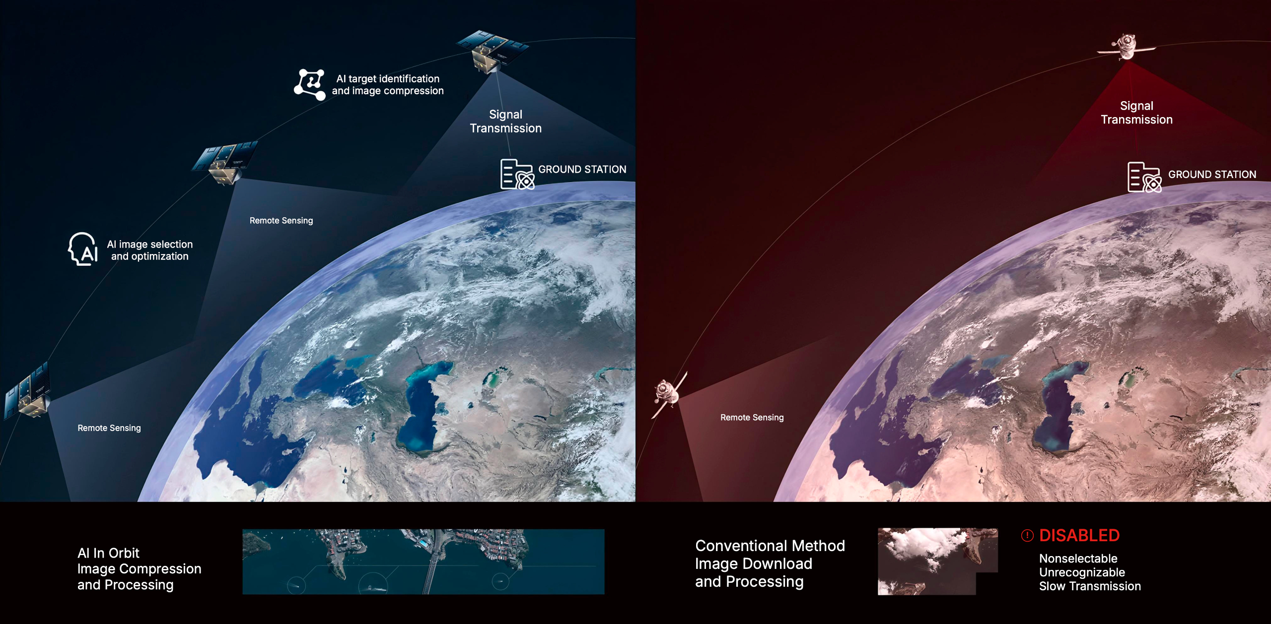
THE WORLD'S MOST ADVANCED EDGE AI
The Wonder Journey™ series use the super maneuverability of the satellite platform, combined with the traditional optical super-resolution algorithm and machine learning super-resolution algorithm, will break through the physical limitation of the resolution of the optical lens and make what you see clearer. The Wonder Journey™ satellites are equipped with the world's most powerful spaceborne EDGE Al platform. Through Al-driven on-orbit image processing and analysis, the on-board data processing and analysis capabilities are improved by hundreds of times, greatly reducing the pressure on data downlink, and improving the effciency of remote sensing satellite data acquisition and application.
SAAS SPATIOTEMPORAL ANALYTICS
Aliens aims to provide affordable, accessible and actionable application experience from SaaS based remote sensing services. The Intelligence spatiotemporal platform is based on multi-source data including satellite remote esensing imagery, integrated with application modules for 13 major sectors and dozens of sub-categories, including agriculture, forestry, water conservancy, natural resources, urban management, ecological environmental protection, disaster emergency response, finance and insurance, etc. Provides various government and enterprise customers with online service capabilities ranging from statistical analysis to.